
On a granite boulder on the north bank of the Brahmaputra at North Guwahati, lies the oldest firmly dated record of a battle in Assam’s history. A few worn lines, cut into the rock in the Saka year 1127, mark the destruction of a Turkic army that rode into the valley in 1206.
The stone takes its name from something gentler. Kanai-boroxi-bowa means the rock where Kanai, the child Krishna, sat with his boroxi, his fishing rod. Local tradition holds a worn foot impression on the stone to be his. The same boulder also carries dated war inscriptions. Beside those lines are other cuttings: an image of Shiva, an elephant and a gaming board. The rock sits low on the ground of the old Kamarupa city of Durjaya.
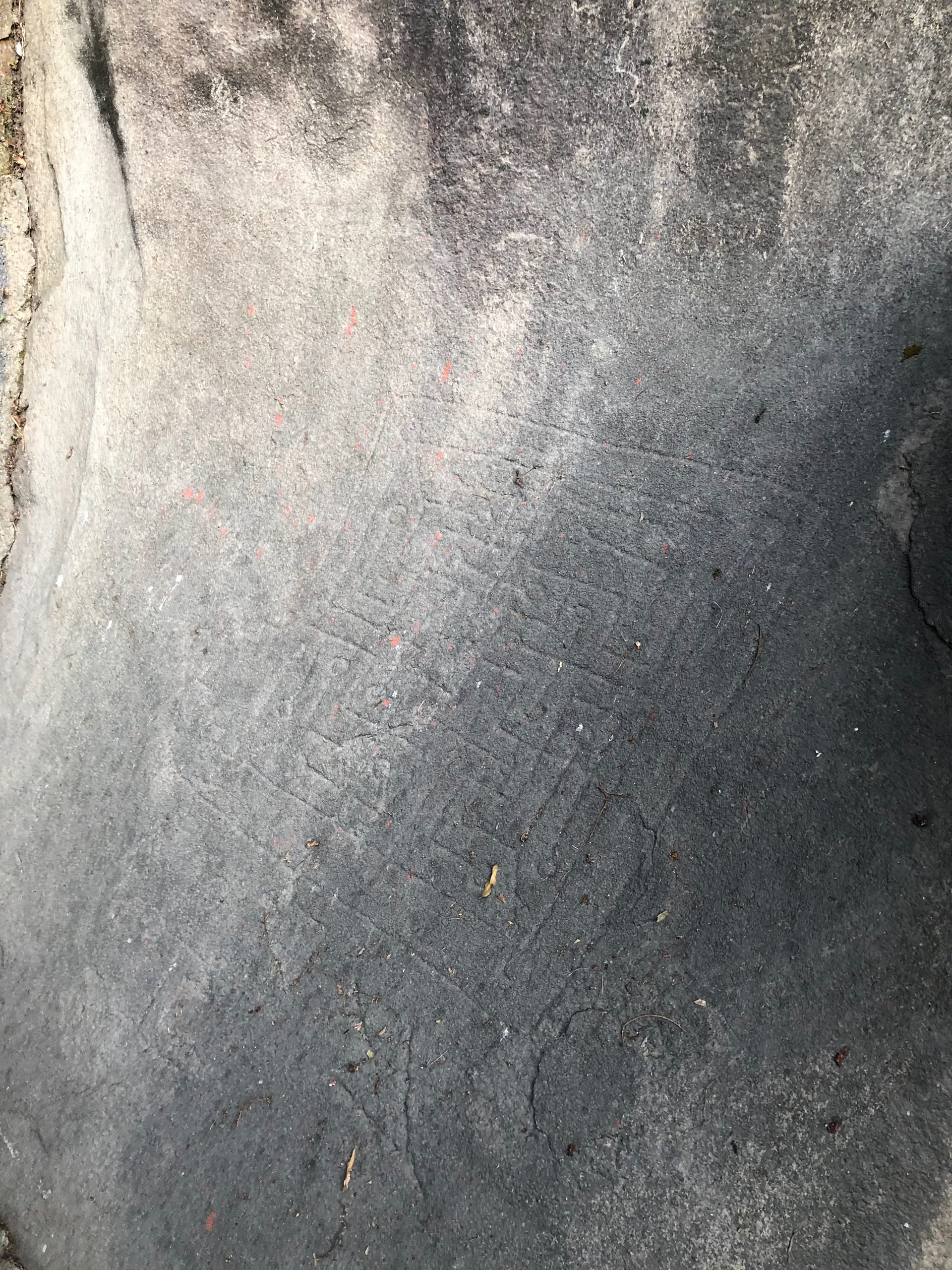

The line that dated a disaster
The 1206 inscription is almost bare. Cut in the old characters of the valley, it records only that in the Saka year 1127, which answers to 1206 of the common era, on the thirteenth day of the month of Chaitra, the Turks who had come to Kamarupa were destroyed. It names no king, no commander and no army. It carries none of the genealogy and praise-poetry that fill the copper-plate grants of the Kamarupa kings. That plainness is part of why it convinces. It is a memorial cut on the spot, not a record drawn up at court. The letters matter as much as the words. By this date the valley’s own eastern script had moved within reach of a recognisably proto-Assamese stage, and this is among the clearest late specimens of that hand.
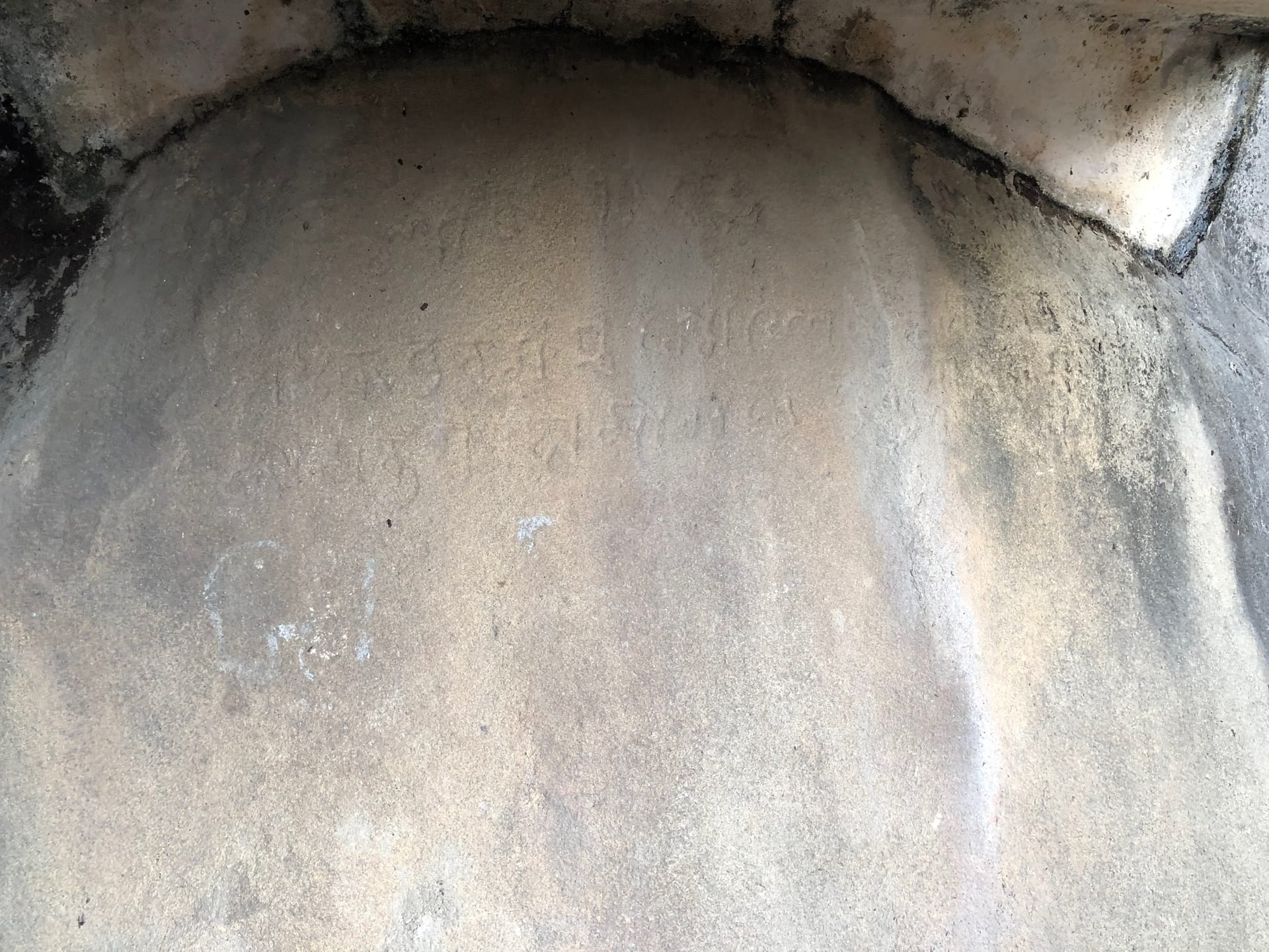

The Turks of the line are those of Muhammad Bakhtiyar Khalji. In 1206 his ten thousand horsemen rode north toward Tibet and were destroyed on their retreat by the terrain, the hill peoples and the monsoon river. The stone names neither him nor the Kamarupa king Prithu who is credited with breaking the column. The link rests on the matching date rather than on the text. The full disaster is told as a lore.
Bakhtiyar's March to Tibet
In 1206 Bakhtiyar Khalji led ten thousand horsemen toward Tibet. A few months later, after the mountain roads, local resistance and floodwaters closed around them, barely a hundred returned.
Three inscriptions, two kingdoms
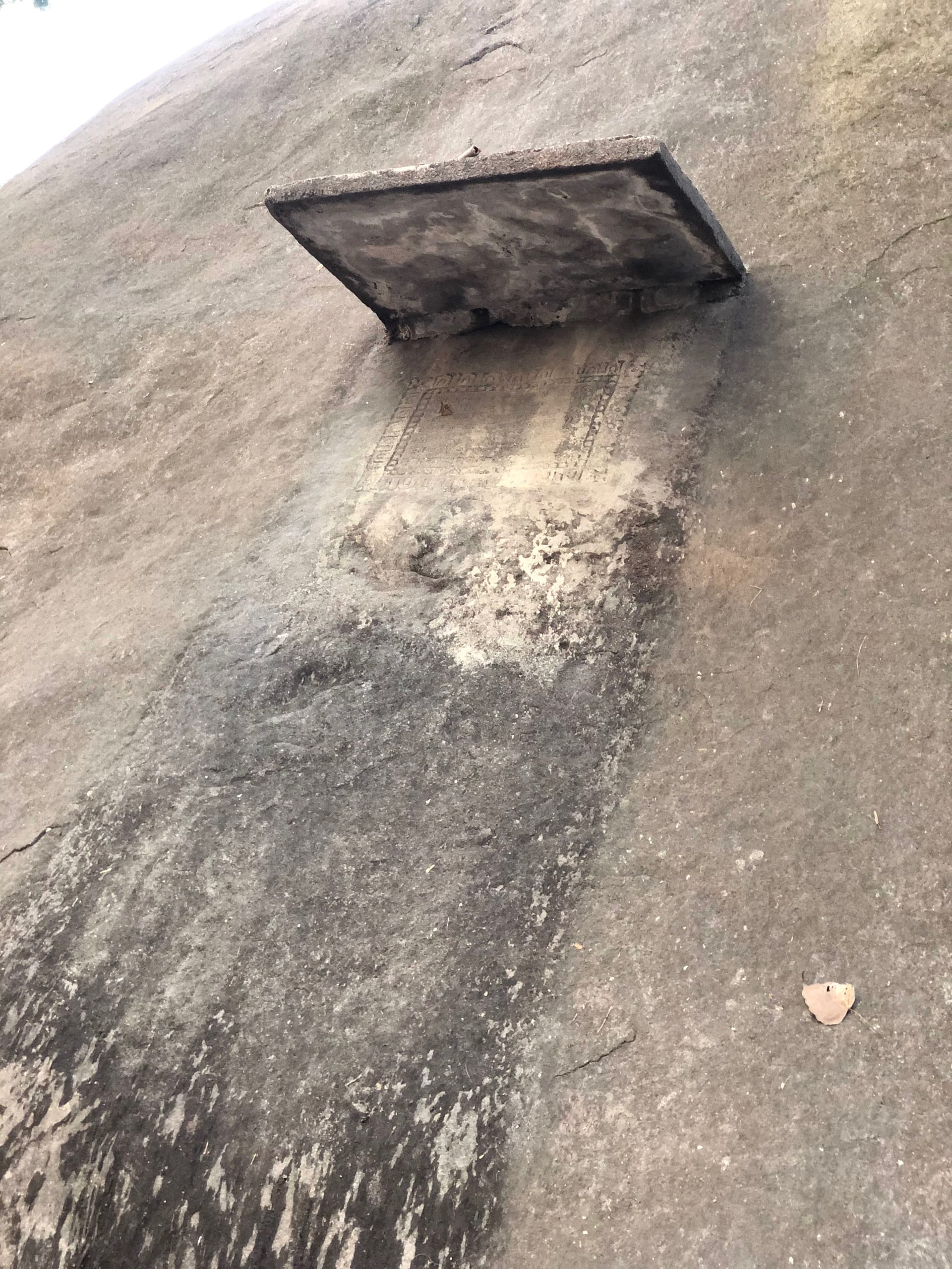
The 1206 line is the earliest of three inscriptions at the site, and the only medieval one. The other two belong to a different war, more than four centuries later. They are Ahom inscriptions from the reign of Chakradhwaj Singha. The second records that his ministers, the Borgohain and the Borphukan among them, raised a rampart here after defeating the Mughal officers Syed Sana and Syed Firuz.
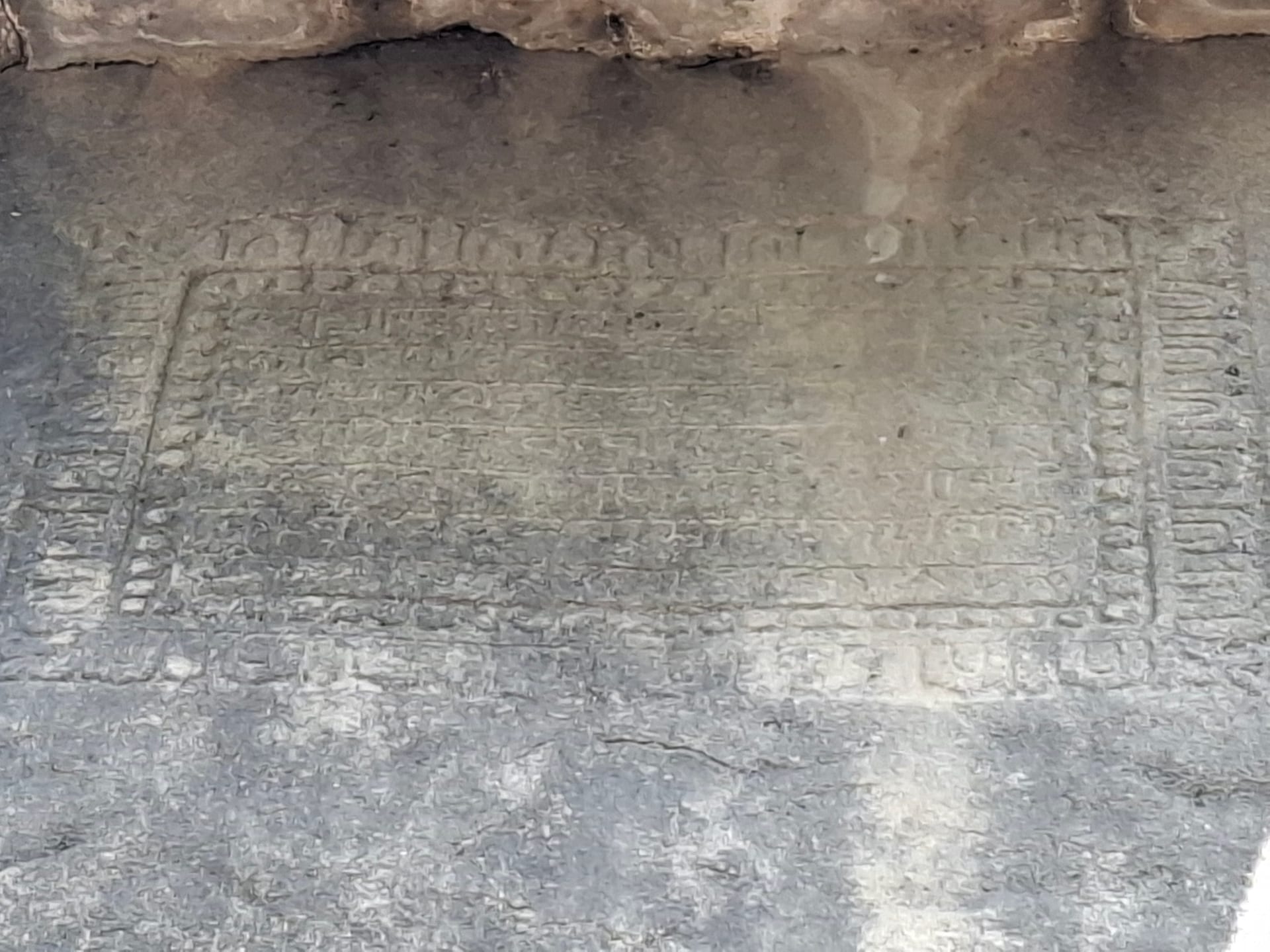
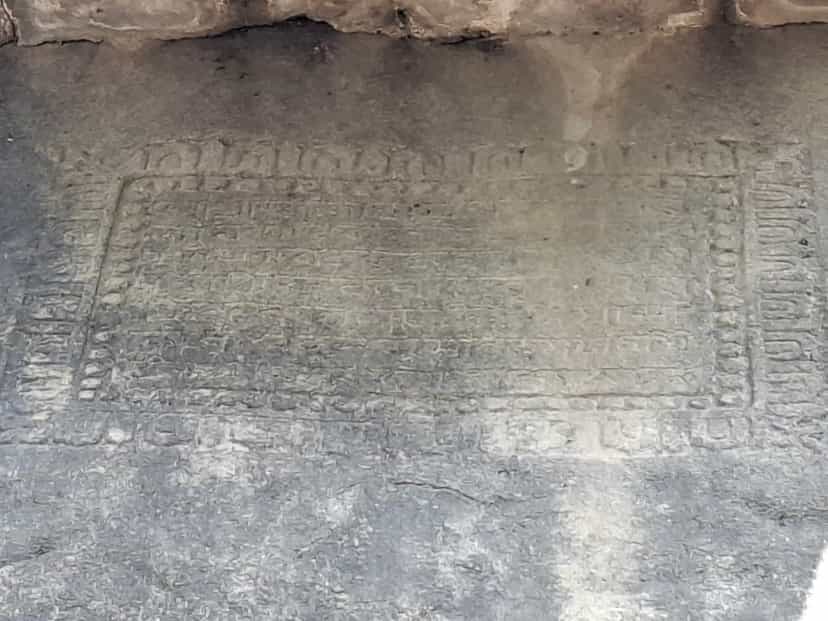
The third, dated to the Saka year 1589, that is 1667 of the common era, records the same rampart, and adds that Firuz was killed. This was the Ahom recovery of Guwahati under Lachit Borphukan, four years before Saraighat. One of those later panels now sits behind a small modern shrine raised against the rock.
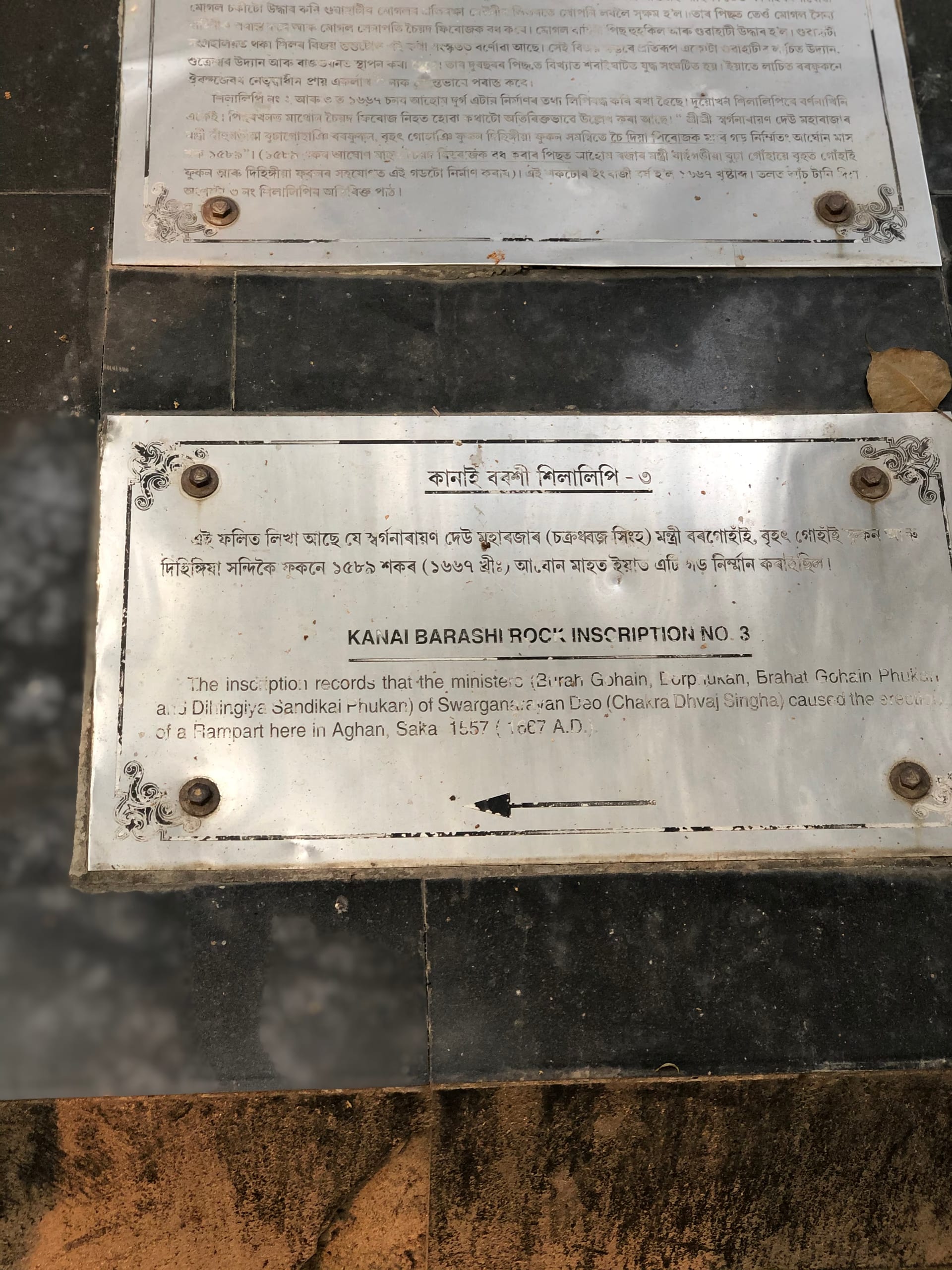

The Directorate of Archaeology has set a marker beside each of the three. So the site holds two moments, four and a half centuries apart, when an army came up the Brahmaputra against the valley and was turned back at Guwahati.
Visiting
The rock lies at Rajaduar in North Guwahati, near the northern terminal of the river ropeway and a short walk from Doul Govinda. You can reach it by the ferry across the Brahmaputra, or by the Saraighat bridge and a short local ride. It sits among the north-bank shrines and rock carvings, within easy reach of the other temples of that bank. It rewards a visitor who comes for the history, and who knows what the few worn lines record.