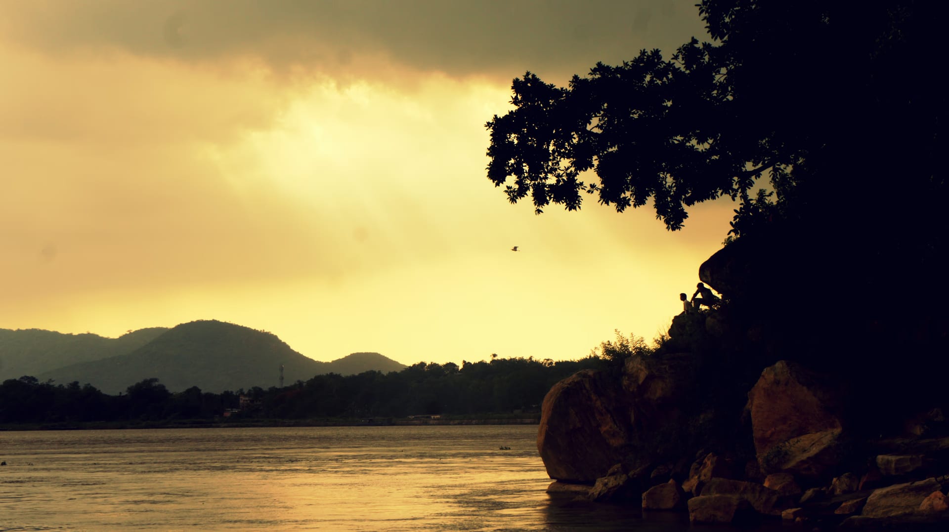
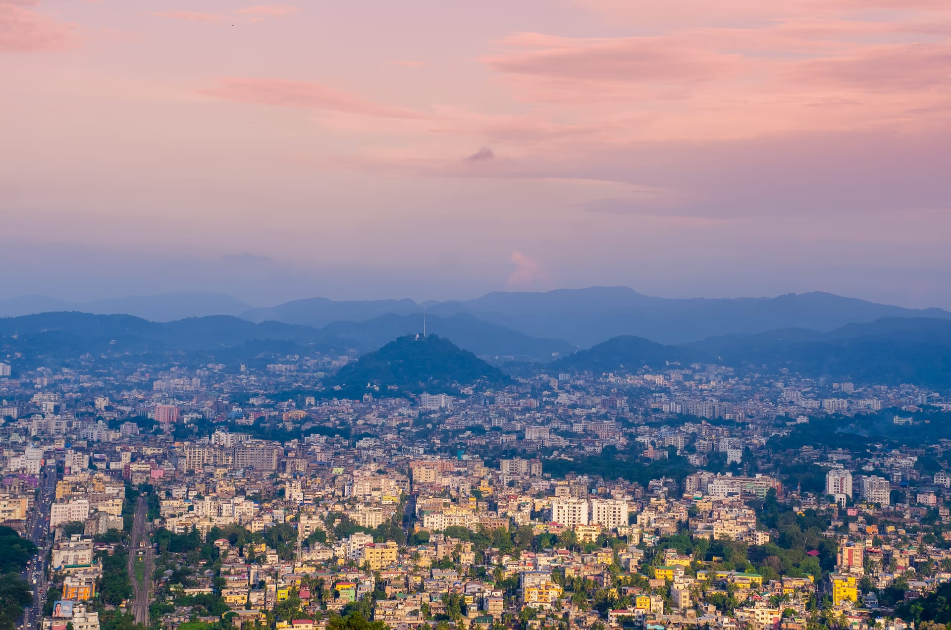
Guwahati is the great city of the lower Brahmaputra. It is the oldest urban place in the region by a wide margin. It is strung along both banks of the river, at the point where it narrows between low hills. It has worn many roles across its long life. It was the Pragjyotishpura of legend and the capital of ancient Kamarupa. It was the religious capital of the goddess on the Nilachal hill. It was the river-gate that the empires of the plains and the Ahoms fought to hold. And in the last century it became the crowded metropolis that is now the effective capital of the whole northeast. To understand Guwahati is to read all of those cities at once, laid one over another along the same few miles of riverbank.
Pragjyotishpura, the city of eastern light
In the oldest layer of memory the city is Pragjyotishpura. Tradition reads the name as the place of eastern light, or of the science of the stars. The epics make it the capital of the demon-king Naraka, and after him of his son Bhagadatta, who leads an army of the east to the great war of the Mahabharata. Beneath the legend lies a real and very old kingship. Archaeology now backs that antiquity in the city itself. Digging at Ambari, in the heart of modern Guwahati, has yielded clay craft and other finds that reach back to around the second century BCE, that is, material of the Sunga-Kushan horizon otherwise unknown in the northeast. These layers are the hard evidence behind the claim that this is the region's oldest city.
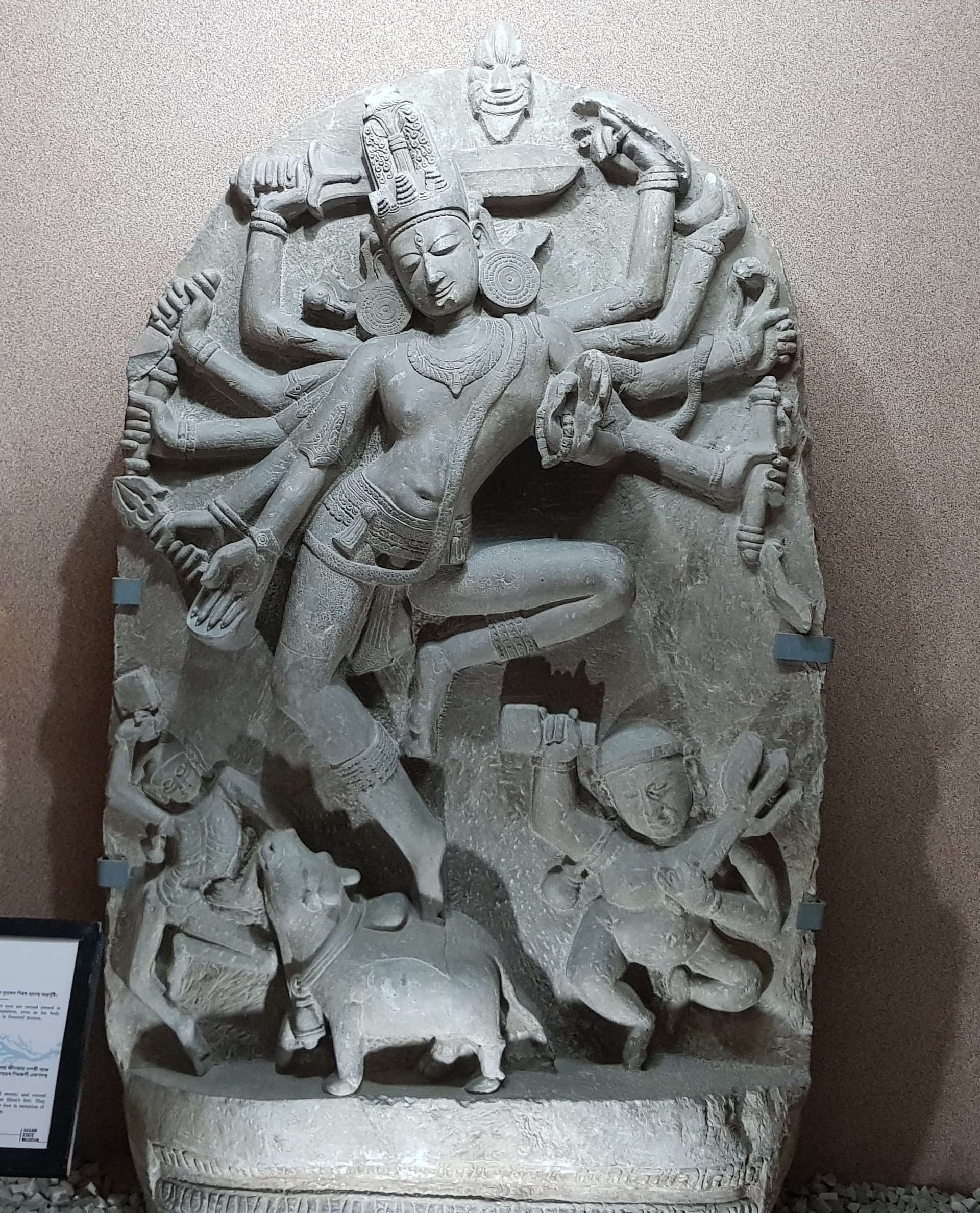

From at least the fourth century the city was a seat of the kings of Kamarupa, the line that ruled the Brahmaputra valley for some six centuries and left behind the copper-plate grants on which the early history of the region is built. Under its greatest king, Bhaskaravarman, the city shows itself most clearly as a true capital. He received the Chinese pilgrim Xuanzang at his court in the seventh century and allied with the emperor Harsha of Kanauj, and the pilgrim’s account describes a centre of learning, ritual and power at the eastern edge of the Indian world.
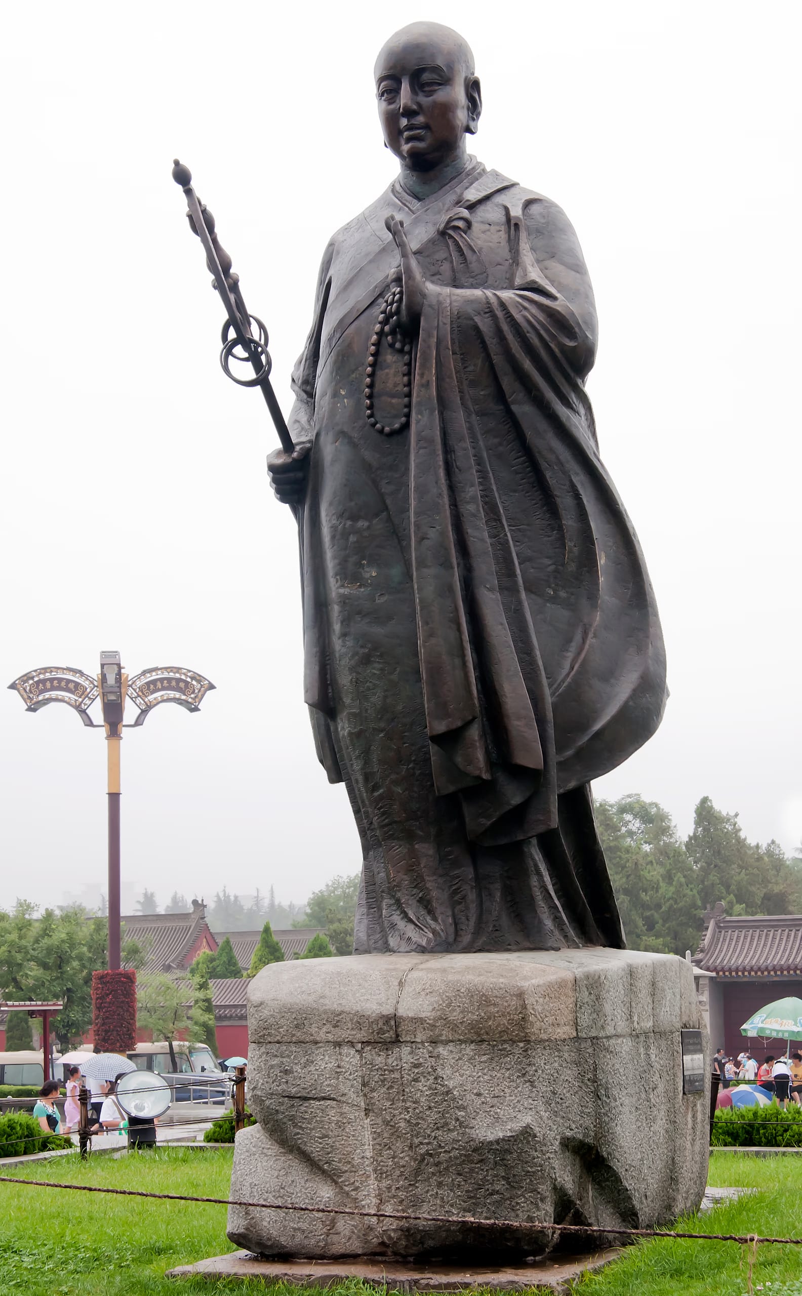
Xuanzang Visits Kamarupa
Around 643 CE a Chinese monk who had walked the width of Asia reached the court of Bhaskaravarman of Kamarupa, and left the earliest eyewitness account of Assam.
The city’s deepest riddle is its own name. The land it commanded has answered to three names across three ages, Pragjyotisha, then Kamarupa, then Assam, and each name arrived with a legend of its own. That long contest over what to call the country runs through the whole of the city’s history, and it is told in full in the lore below.
The Three Names of the Land
Pragjyotisha, Kamarupa, Asam. A valley that has worn three names across three ages, each with its own legend, from the place of eastern light to the name the whole country carries still.
The temples of the city
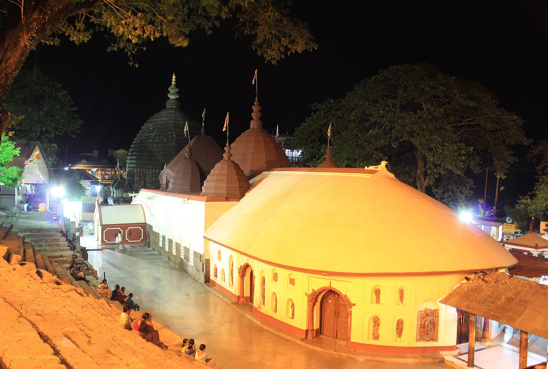
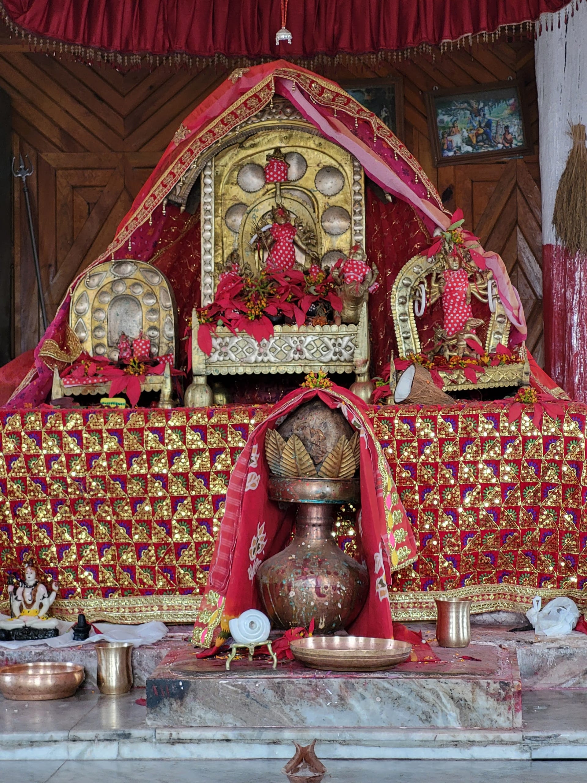
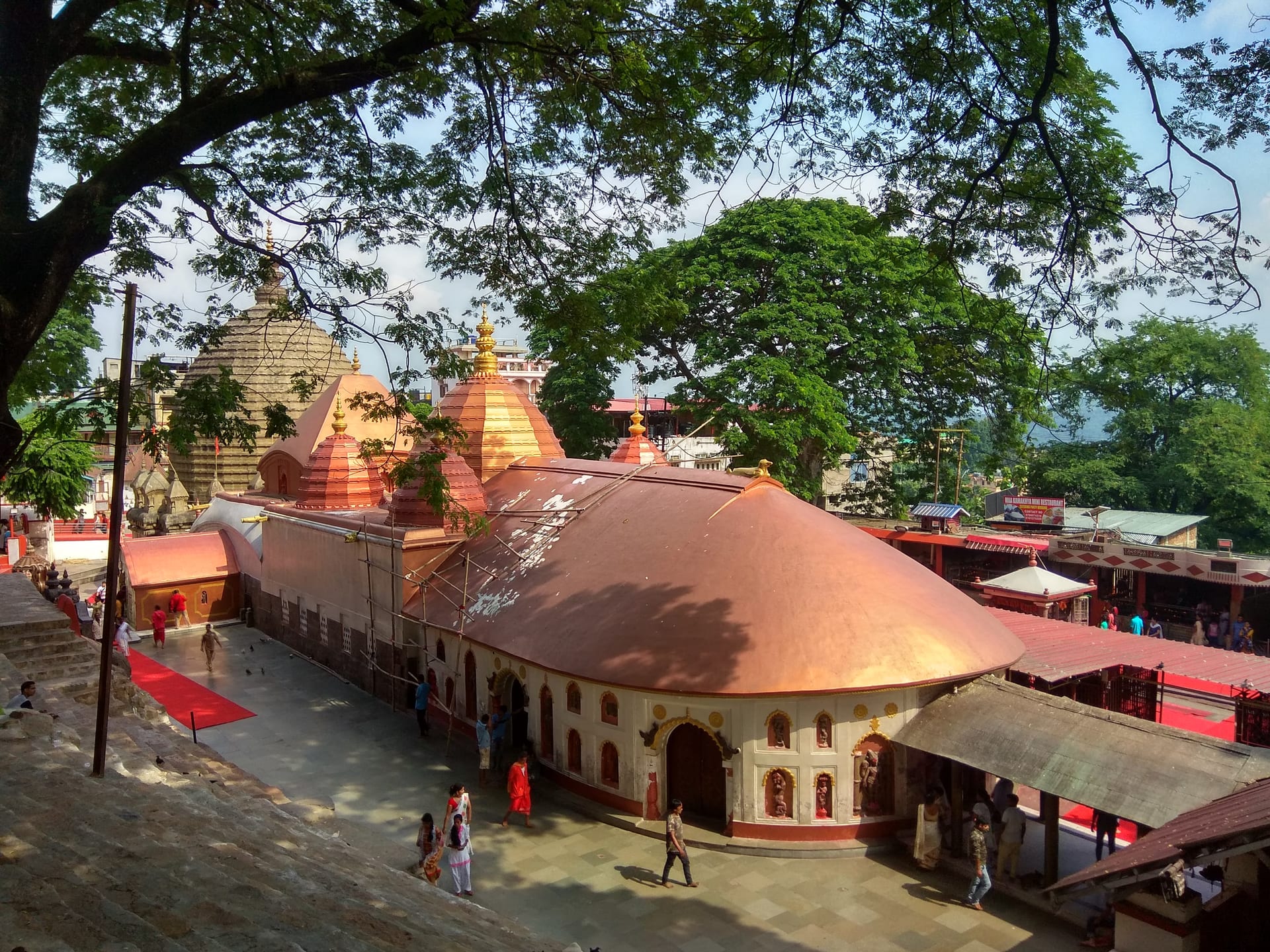
What made Pragjyotishpura more than a fortress on a river was the hill that rises above it. The Nilachal hill carries the shrine of Kamakhya, the most important seat of the Shakta worship of the goddess in eastern India. Since deep antiquity the city has been, first and foremost, a religious capital, a place of pilgrimage and of the tantric learning that gathered around the goddess. The temple has its own long history, told on its own page. Here it is enough to say that the cult of Kamakhya gave Guwahati a sanctity that outlasted every dynasty that held the city.
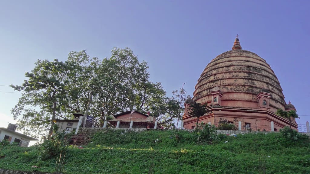
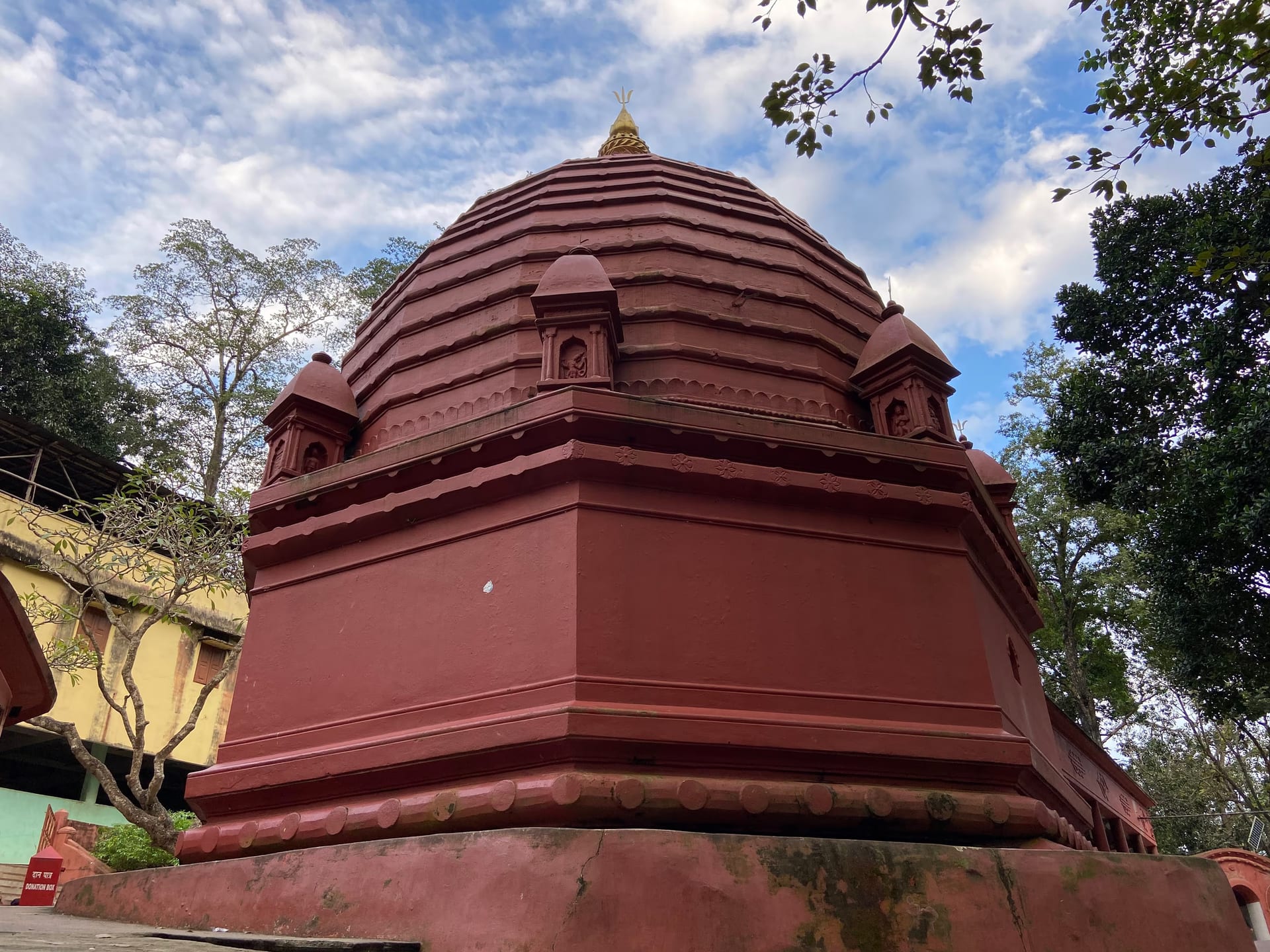
In the gravitational field of that one great hill, a ring of shrines grew up along the riverbank. In the river below sits the little island temple of Umananda, reached by ferry. On the south bank stand the Shiva shrine of Sukreswar and the unusual Navagraha, the temple of the nine planets, which recalls the city’s old name and its repute for astronomy. A little out of the centre lie the hot springs and hermitage of Basistha. Across the water on the north bank are the older, quieter shrines of Aswaklanta, Doul Govinda, Dirgheswari and Manikarneswar, several of them set on hills with long views back over the river to the city. Taken together they make Guwahati not a single monument but a sacred landscape.

The river-gate the empires fought for
Sanctity was never the city’s only value. Where the Brahmaputra pinches between the hills, Guwahati was also the lock on the whole valley.
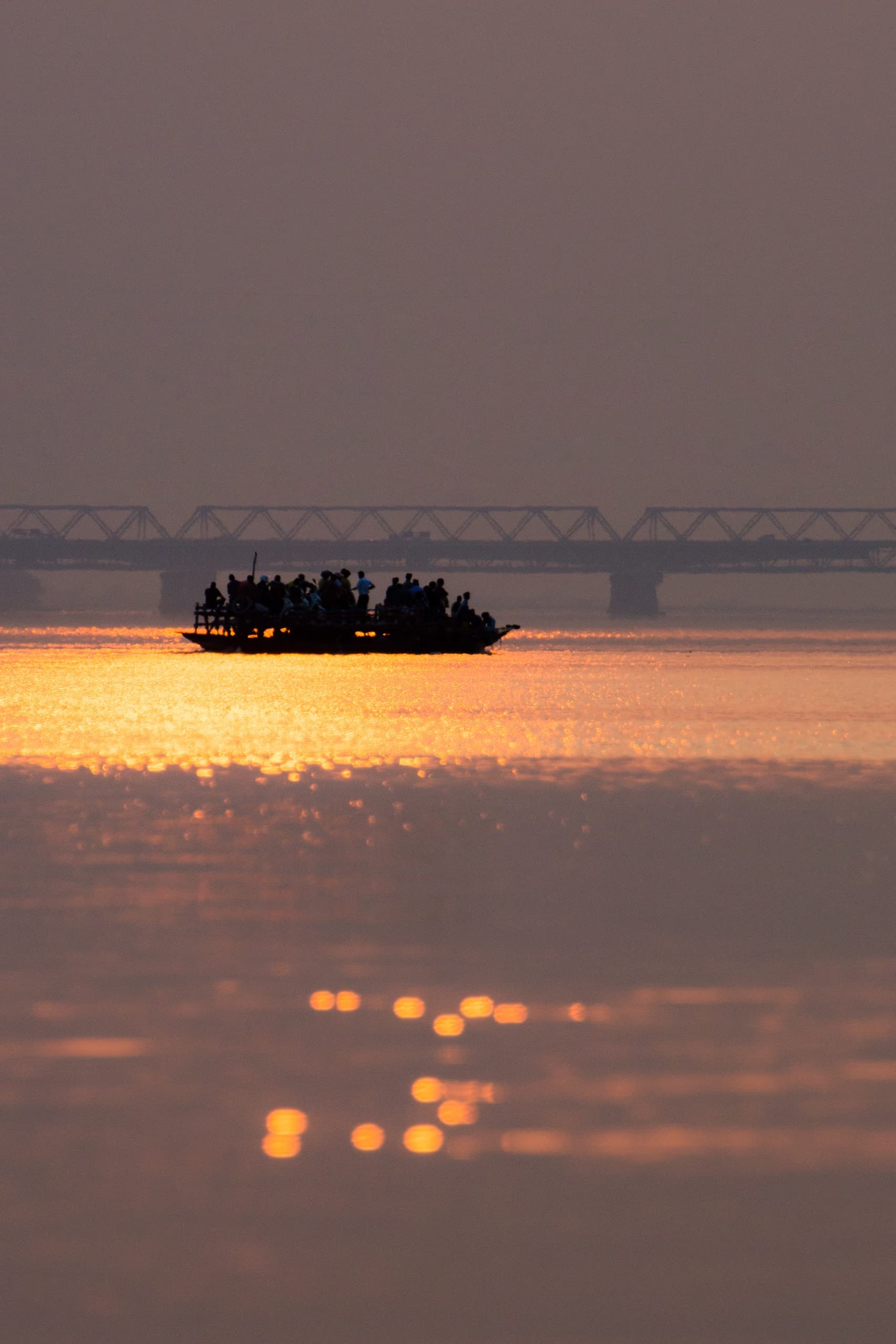
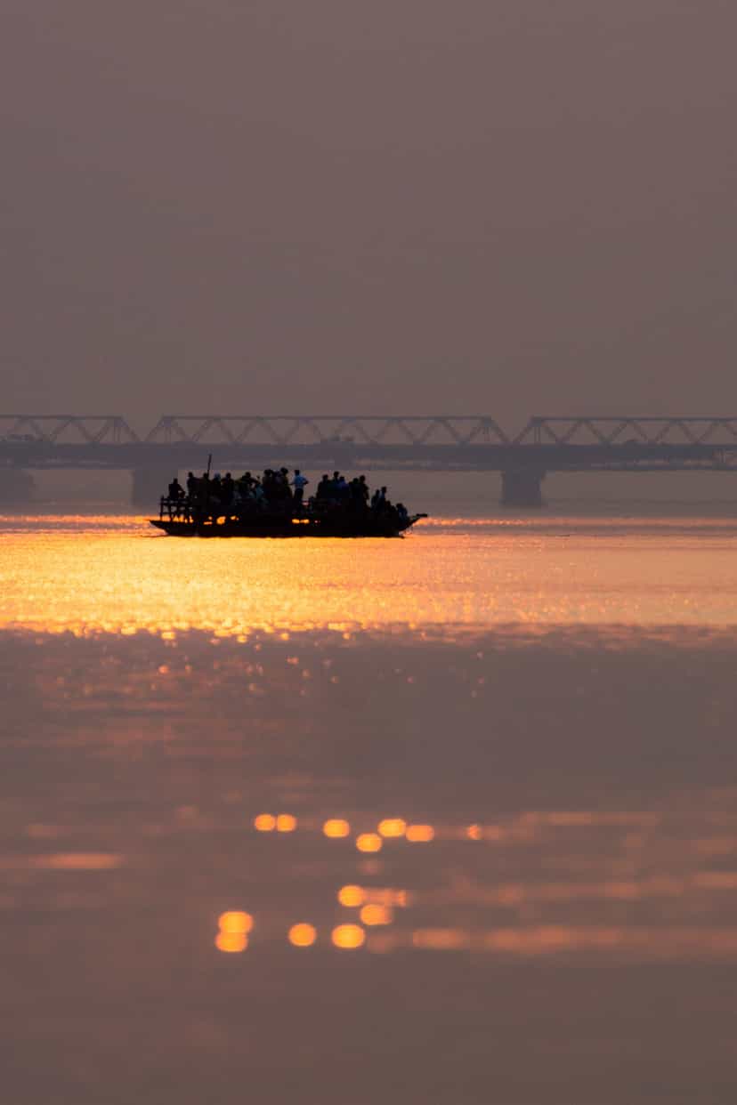
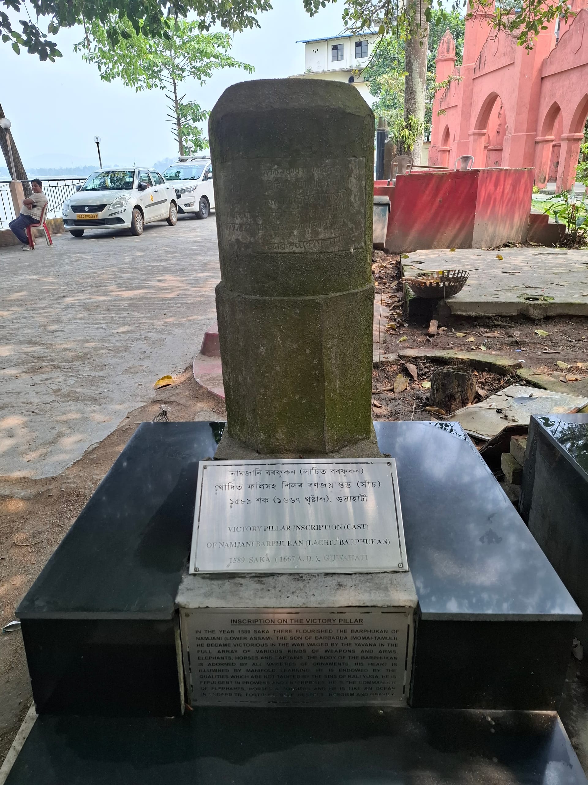
Guwahati’s position commanded the narrows of the Brahmaputra. This made it the strategic key to the whole valley. Through the medieval centuries it was fought over again and again. It was the frontier between the powers of the west and the rising Ahom kingdom of the east. Those western powers were the Koch, and then the Mughals. The Mughals took the city more than once and were thrown out again. The long struggle reached its dramatic climax in 1671 at Saraighat, on the river just west of the city. There the dying Ahom general Lachit Borphukan broke a larger Mughal expedition. The battle was fought in the narrows between the island of Umananda and the north-bank shrine of Aswaklanta. Saraighat did not end the war. The Mughals recovered Guwahati in the late 1670s, and the definitive settlement came only in 1682 at Itakhuli, when forces under Gadadhar Singha drove the empire back to the Manas for good. After that recovery the city was governed for the Ahoms by the Borphukan, the viceroy of lower Assam, from his seat here. It remained the western military capital of the kingdom until the upheavals of the Ahoms’ last years.
The Night of Saraighat
A dying general, a wavering fleet, and the river that kept Assam free of the Mughals.
From colonial town to capital of the northeast
Between the Ahoms and the British lay the darkest passage of the valley’s history. The kingdom, already broken from within by the Moamoria rebellion, fell in its last years to invasion from Burma, and Guwahati was occupied along with the rest of the valley. The devastation ended only in 1826, when the Treaty of Yandabo handed Assam to the East India Company.
The river that the empires had fought to hold became, in time, the artery of a new economy. The same narrows that carried fleets now carried trade and a bridge.
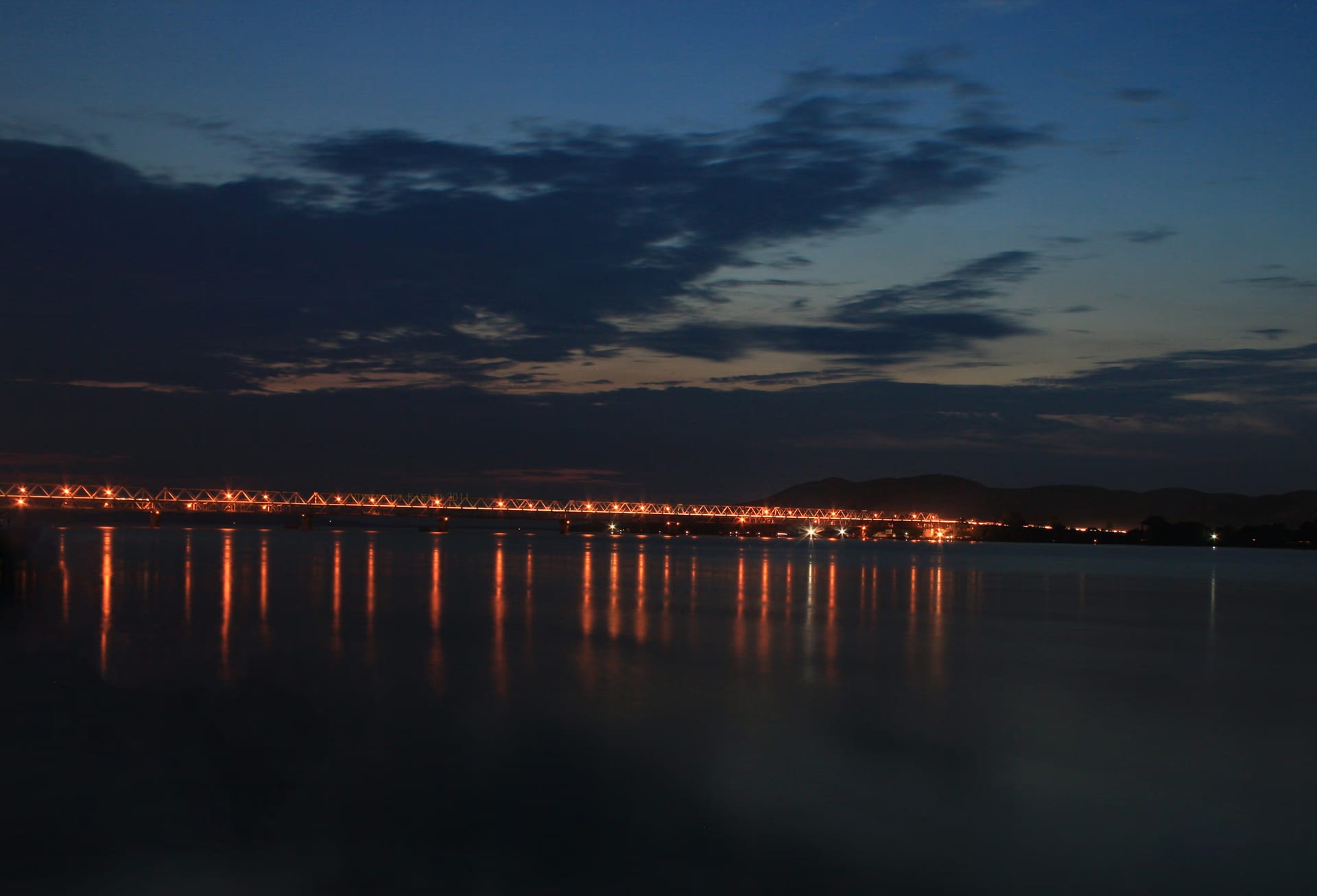
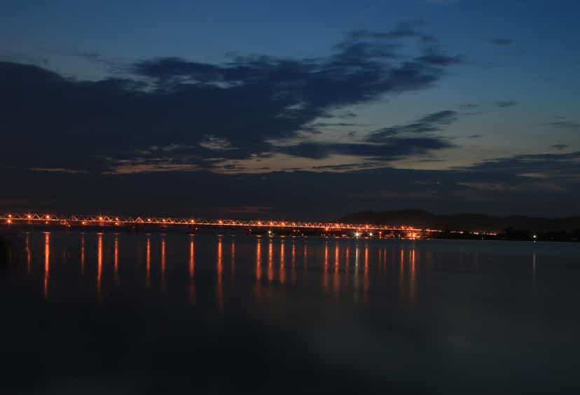
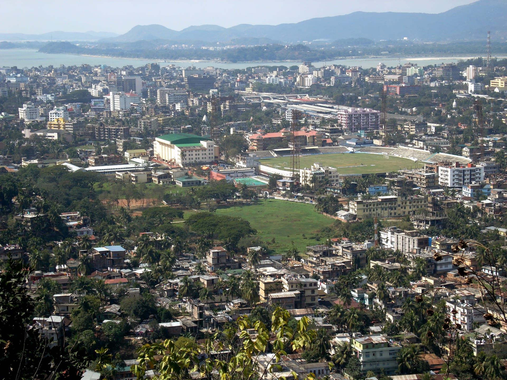
Under British rule the old religious and military town was remade as a commercial one. It served as the seat of British administration in Assam until the capital moved to Shillong in 1874. Guwahati became the river-port and trading centre through which the tea, timber and oil of the province moved. It was the head of steam navigation on the Brahmaputra and a junction of the new railways. Around that commerce grew the institutions of a colonial provincial town, the schools, the press and the offices. After independence the city’s rise accelerated beyond all its earlier roles. The seat of government shifted to the new capital complex at Dispur on its southern edge. Road, rail and air made it the gateway to the entire region. Guwahati spread up the hills and along both banks into the sprawling, congested metropolis it is today. It is by far the largest city of the northeast, and the commercial, educational and cultural hub on which the modern life of Assam turns. The ancient sanctity has not gone. It has simply been overgrown. The pilgrim crowds still climb the Nilachal hill above a city of well over a million people.

The capital of Assamese culture
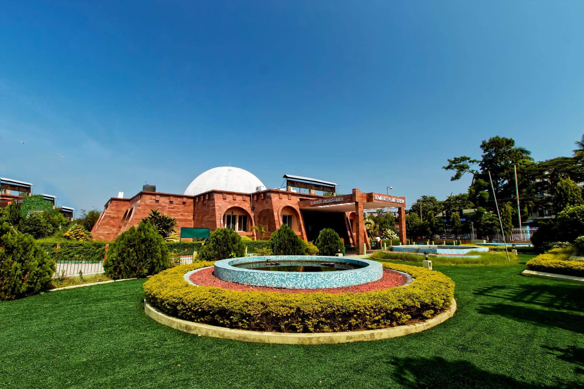
The modern city is not only the region’s marketplace. It is the capital of Assamese cultural life. Its civic heart is the long tank of Dighalipukhuri, which tradition ties to the epic city itself and which is said to have served the Ahom fleet as a dock, joined in those days to the river. Around the old water stand the institutions of the city’s mind. Cotton University began as Cotton College in 1901 and educated much of the modern Assamese intelligentsia. The Assam State Museum at the tank’s southern end keeps the sculpture and the copper plates of ancient Kamarupa. Gauhati University, the first university of the northeast, opened at Jalukbari in 1948, and the white dome of the Guwahati Planetarium has stood over M.G. Road since the 1990s.
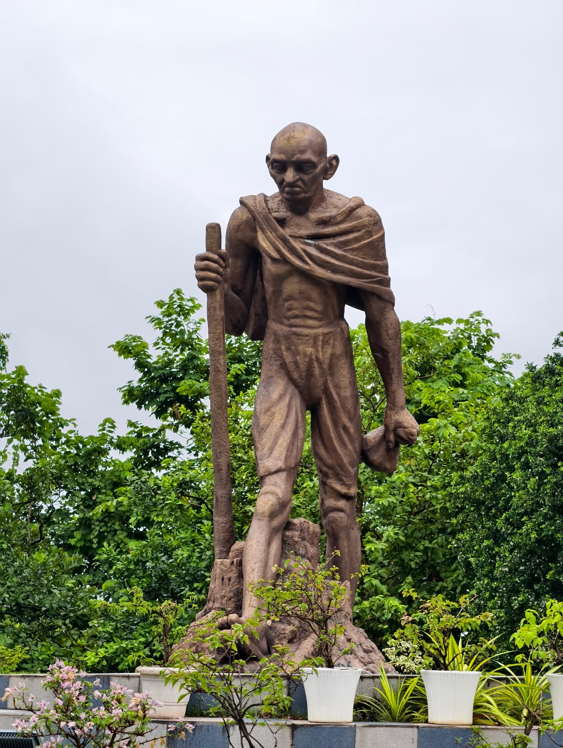
The city is equally the home of the living arts. The Srimanta Sankaradeva Kalakshetra, the cultural complex raised in the 1990s on its eastern side, gathers the dance, drama, craft and music of the whole valley into one campus. Assamese cinema, founded by Jyoti Prasad Agarwala in the 1930s, came to be made largely in this city, at the Jyoti Chitraban studios that carry his name. Guwahati also keeps the memory of Bhupen Hazarika, the great voice of the valley, whose samadhi stands beside the Brahmaputra at Jalukbari. On Sarania hill the white memorial of Gandhi Mandap looks out over all of it, raised in memory of the Mahatma’s visit to the city in 1946.

The green frame of the city
For all its growth, Guwahati is still set in a remarkable frame of water and forest. The contest between the spreading city and that frame is one of the defining stories of the modern town. On its south-western edge lies Deepor Beel, the last great freshwater wetland of the city. It is a Ramsar site and a wintering ground for thousands of migratory birds. Across it an old elephant corridor still runs down from the southern hills to the river.
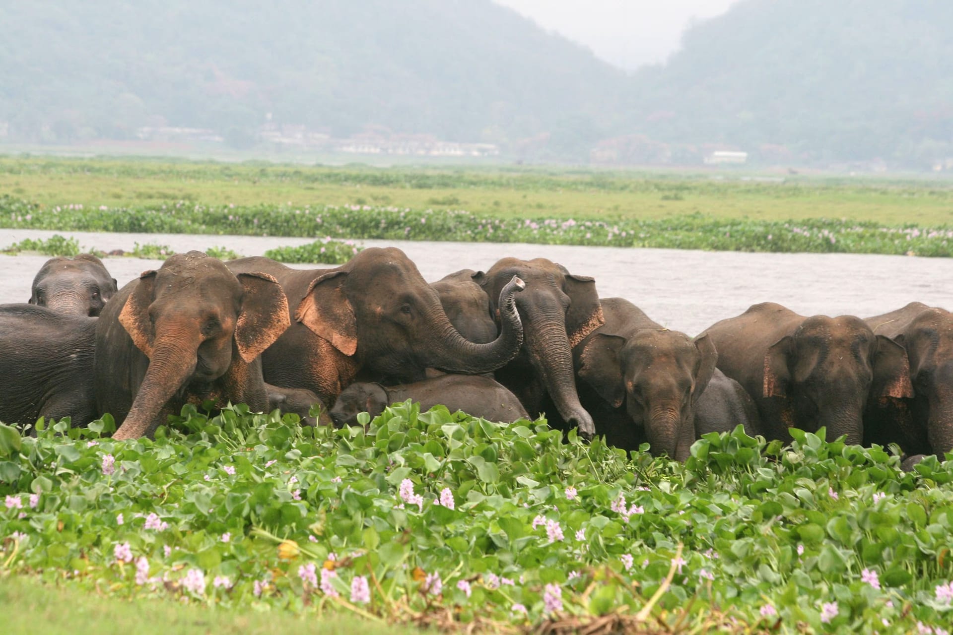

Those hills, the forested ridges that ring the city, are themselves wild. The sanctuary of Amchang on the eastern side and the reserve forest of Garbhanga to the south still hold elephants, leopards and hornbills within an hour of the centre. So the capital sits, almost uniquely among Indian cities, with real jungle and a Ramsar wetland against its built edge. The weight of the growing metropolis now presses on that frame. Encroachment, the railway and the refuse crowd Deepor Beel, and roads cut the elephant paths. This is the central environmental drama of the modern city, and the reason Guwahati’s wild surrounds are watched as closely as its shrines.
Visiting
Guwahati is the gateway to Assam and the whole northeast. It has the region’s main airport and railway junction, and almost every visitor passes through it. It rewards a day or two in its own right: a morning at Kamakhya, the museum and the old tank at Dighalipukhuri, an afternoon ferry to the island temple of Umananda, the river-bank shrines at sunset, and a crossing to the quieter north bank. The cool, dry months from October to March are the most comfortable. The city is also the natural base from which to reach Hajo and Sualkuchi to the west, the wildlife of Pobitora and Kaziranga to the east, and the rest of the valley beyond.